Objectives
The scientific objectives of the RENAG network are:
- to quantify the slow tectonic deformation in France, to make the link with the moderate seismicity recorded and to constrain the geological and physical models explaining the current deformation. These measurements contribute to the evaluation of the seismic hazard on the national territory,
- to measure sea-level variations by separating vertical displacements on land from climatic contributions in tide gauge records thanks to GNSS stations co-located with tide gauges
- to measure the water vapor content of the troposphere for the analysis of heavy rainfall events and for the assimilation of these measurements in operational weather forecasting models. These stable measurements over long periods also contribute to the study of climate evolution,
- to characterize the transient motions related to ocean and atmospheric overloads as well as hydrological loadings.
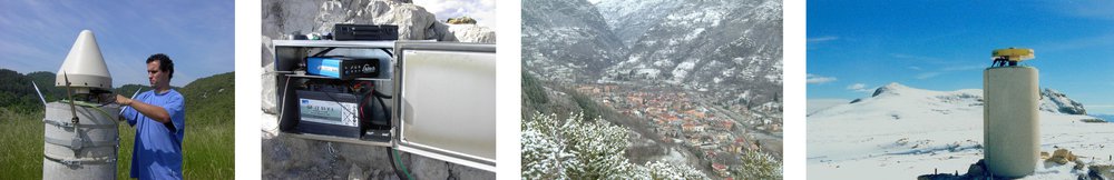
- to explore new GNSS applications such as the measurement of snow height or soil moisture by reflectometry, the measurement of ionospheric activity or precise positioning at high frequency and multi-constellations, etc.
Are you a researcher in the academic field and want to join the Rénag community? Subscribe to the mailing list: https://groupes.renater.fr/sympa/subscribe/renag?previous_action=info